

Folding Maps
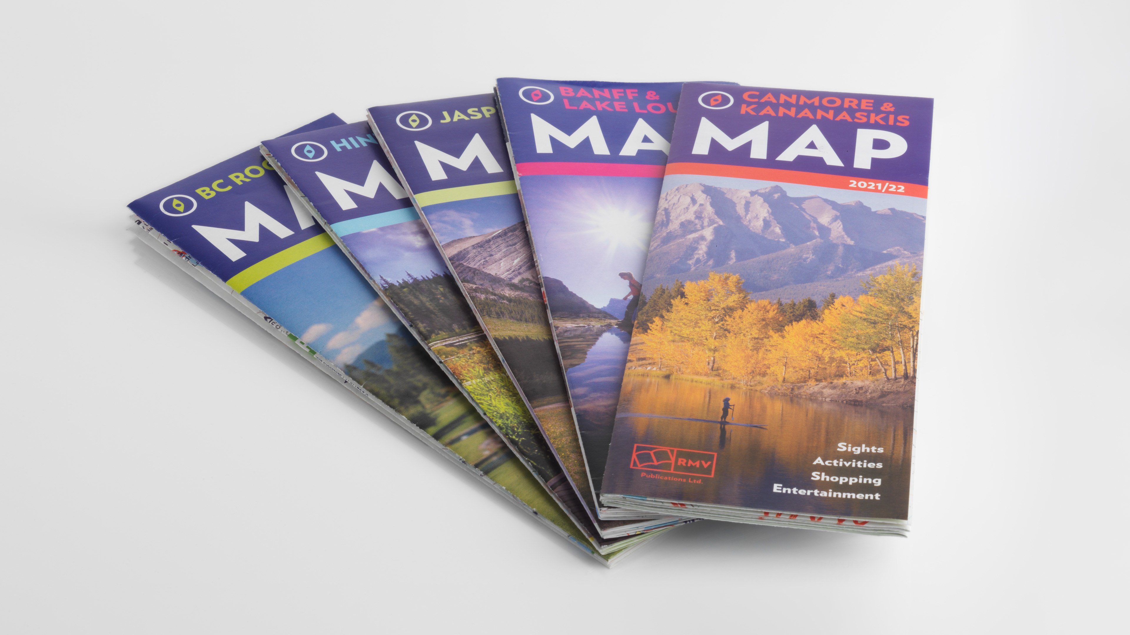
RMV Publications has long been a leading producer of Canadian Rockies maps. Tourism bureaus, local businesses, and event organizers use our maps in their brochures and websites. Our annually published folding maps boast the highest circulation, widest distribution, and are most coveted by travellers.
These maps respect the needs of travellers. They are to scale, incorporate topographic features, and are totally free. RMV folding maps are intensively distributed on a continual basis at hotels, information centres, car rental agencies, attractions, shops, and restaurants in their respective communities and beyond.
Our maps are used extensively by sightseers and outdoor enthusiasts who hike, cycle, canoe, and cross-country ski. Roads, waterways, trails, viewpoints, picnic sites, attractions, campgrounds, and other amenities are clearly delineated. Large scale national park and regional maps as well as smaller scale maps of towns and downtown areas are included.
RMV folding maps are printed in colour on heavyweight glossy stock and are accordion and Z- folded to allow for easy unfolding and refolding. They are a convenient size for brochure racks and carrying while on the go.
Notepad Maps
RMV notepad maps are printed on uncoated offset paper that allows tourism professionals to easily draw routes or highlight destinations for visitors. Often referred to as ‘tear-off maps’, they come in pads of 100 copies. This contributes to easy above- or below-counter storage.
These maps are a favourite at information centres, hotel front desks, and cashier desks at attractions, stores, and restaurants. The maps show town roads, waterways, trails, and facilities.
Find our maps throughout the Canadian Rockies.
Folding Maps